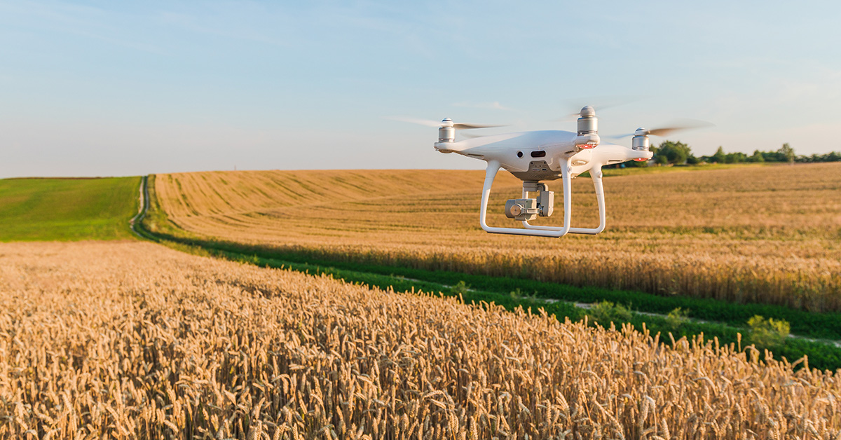
Drones are incredibly useful tools when it comes to visualising the large areas of land used for agriculture. The aerial imagery provides the ability to see entire fields in a single, zoomable, image and multiple fields can be visualised quickly.
How do we produce a single image for such large areas of land?
The answer lies in combining a large number of images to produce one large image called an orthomosaic. We fly the drone on a flightpath that covers the entire field, taking overlapping photographs as we go. All of the images are then stitched together to form the final orthomosaic.
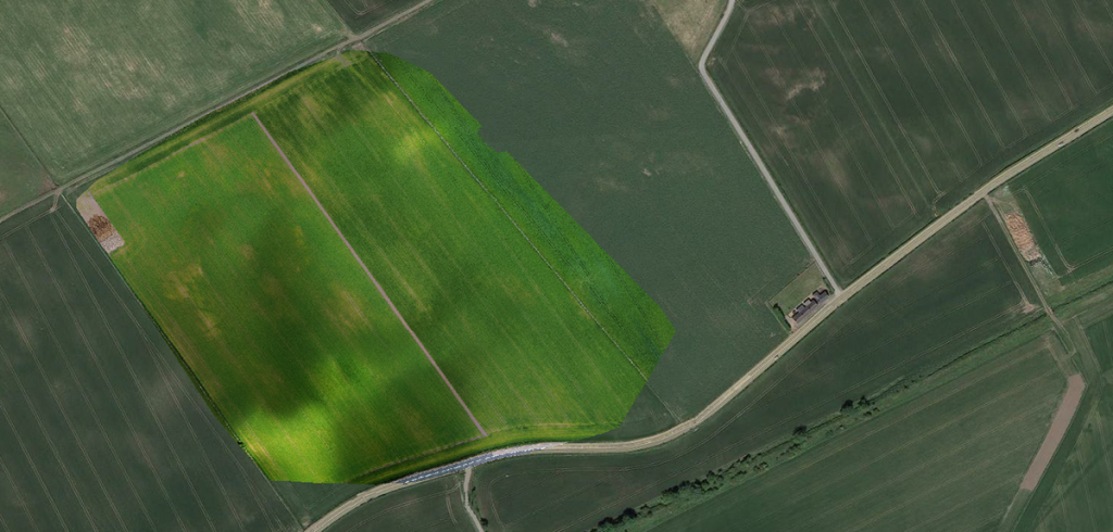
These images are of two heritage barley crops, consisting of over 170 individual images. The delineating line down the middle separates the crops.
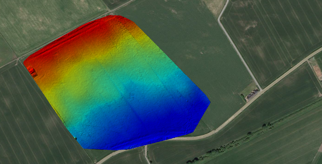
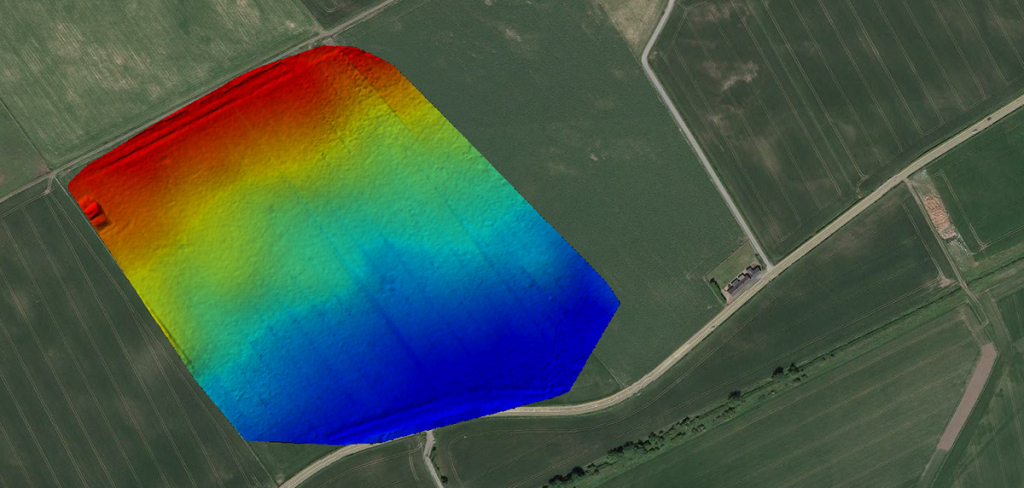
The orthomosaics contain location information so we can overlay them on maps provided by services such as Google Earth. Additionally, the same data can be used to generate digital surface and terrain models.
Field Mapping
Identifying Issues
Speed and Repeatability